- Early Stage Master Planning 3d, Co. Dublin.
- Project Architects, Dublin. - November 2007

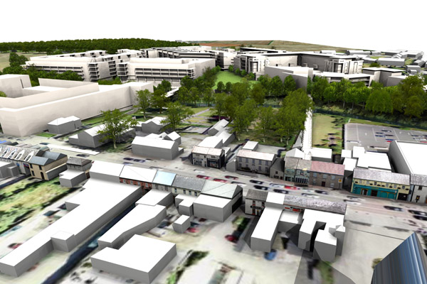
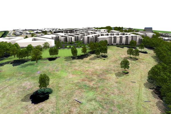
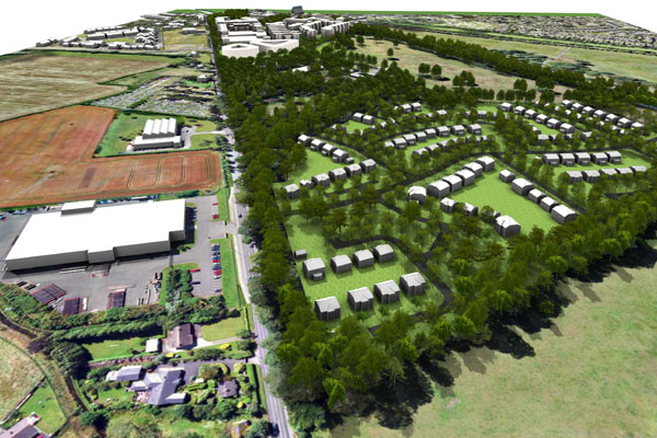
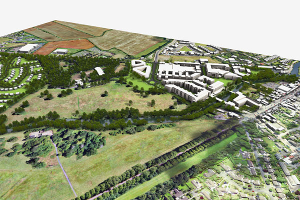
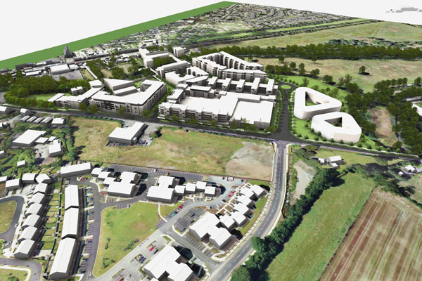
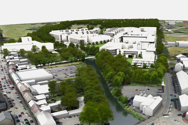
The brief of this project was to create a model of the existing landscape and adjacent town to show in context the master plan of a proposed mixed use development. A terrain model was generated from survey data which included river and an aerial photograph was wrapped onto the terrain. Over 1500 trees were added to represent existing and new tree coverage.
Move Mouse over Thumbnail Images to View


